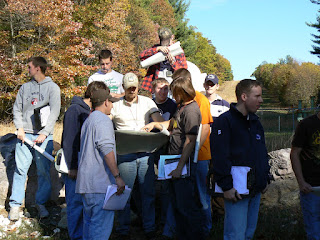
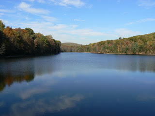
Reading topographic maps is a critical skill for all foresters. We can use contour lines to see a landscape in three dimensions. Here students from the Forest Mapping class are matching their location to the features on a topographic map in the Michaux State Forest and the Waynesboro Watershed.


No comments:
Post a Comment